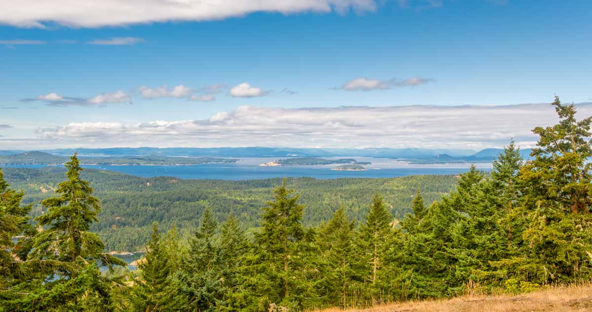
Orcas Island Hiking at Turtleback Mountain

Stunning views and fewer crowds make Turtleback Mountain a fabulous alternative to the sometimes-crowded hikes at Orcas Island’s Moran State Park.
Spanning 1,578 acres, Turtleback Mountain Preserve is a newer addition to the island’s trails. It was originally owned by the Chairman of the Weyerhaeuser company. But in 2006 it was purchased by a group of conservation groups including the San Juan Preservation Trust.
Since then, a relatively primitive trail system has been developed totally more than 8 miles of trails and two trailheads. The two sides of the mountain have decidedly different looks. At the north end, former logging roads offer exceptional mountain biking and trail running.
The casual hiker generally prefers the south end, where easy-to-moderate elevation gains and breathtaking views abound — like the 2.9-mile Ship Peak Loop.
Start from the southern parking lot and head through the ravine. After you cross a creek, the trail will split. Head to the left, taking the Lost Oak Trail. (While it’s a loop, this direction allows you to get the steeper climb out of the way first.)
This section will take you under a canopy of Douglas firs, madrones, and Garry oaks. At .7 miles you’ll reach a bench with a viewpoint of West Sound. As you continue climbing the South Trail, you’ll be treated to expanding views of Salt Spring, Lopez, San Juan Island, and the Olympic Mountains.
At 1.2 miles you’ll reach the West Overlook. This was formerly the site of a home, but it’s now outfitted with a bench. During the spring, the grounds around you will be flooded with camas lilies. But year-round, this is a spectacular destination for sunsets.
Continue along the trail, gradually descending to a signed junction. Wander through the mature forest, past an old fence and several trees before taking the steep descend into a thick forest. Continuing on, you’ll come to the original junction. Stay to the left to reach the trailhead.
- Distance: 2.9 miles, round trip
- Elevation Gain: 860 ft.
- Highest Point: 931 ft.
- Dogs: Permitted on leash
- Difficulty: Easy to moderate
- Accessible: Year-round
- Tips: Bring water. There’s no fresh source along the way.


